|
|
|
 "Click to enlarge")
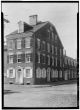
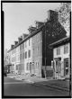
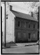
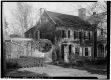
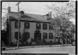
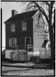
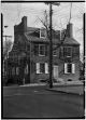
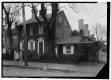
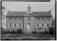
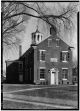
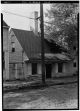
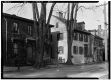
Source: Library of Congress, Prints and Photographs Division, Historic American Buildings Survey
|
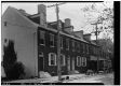
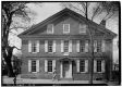
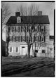
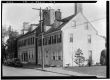
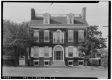
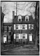
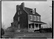
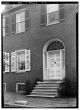
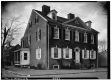
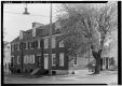
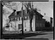
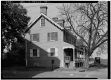
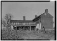
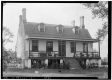
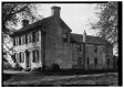
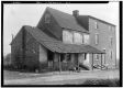
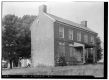
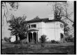
McCrone House 1 mile South of intersection of U.S. Route 13 & Route 40, west of Route 13. Neither of these may be the house shown, but overlaying the Rea & Price 1849 map on modern maps shows two McCrone houses off School lane, W of US13/40 (now the airport), one under a hangar, one adjacent to Airport Rd. |


 |
|